
Hydrology
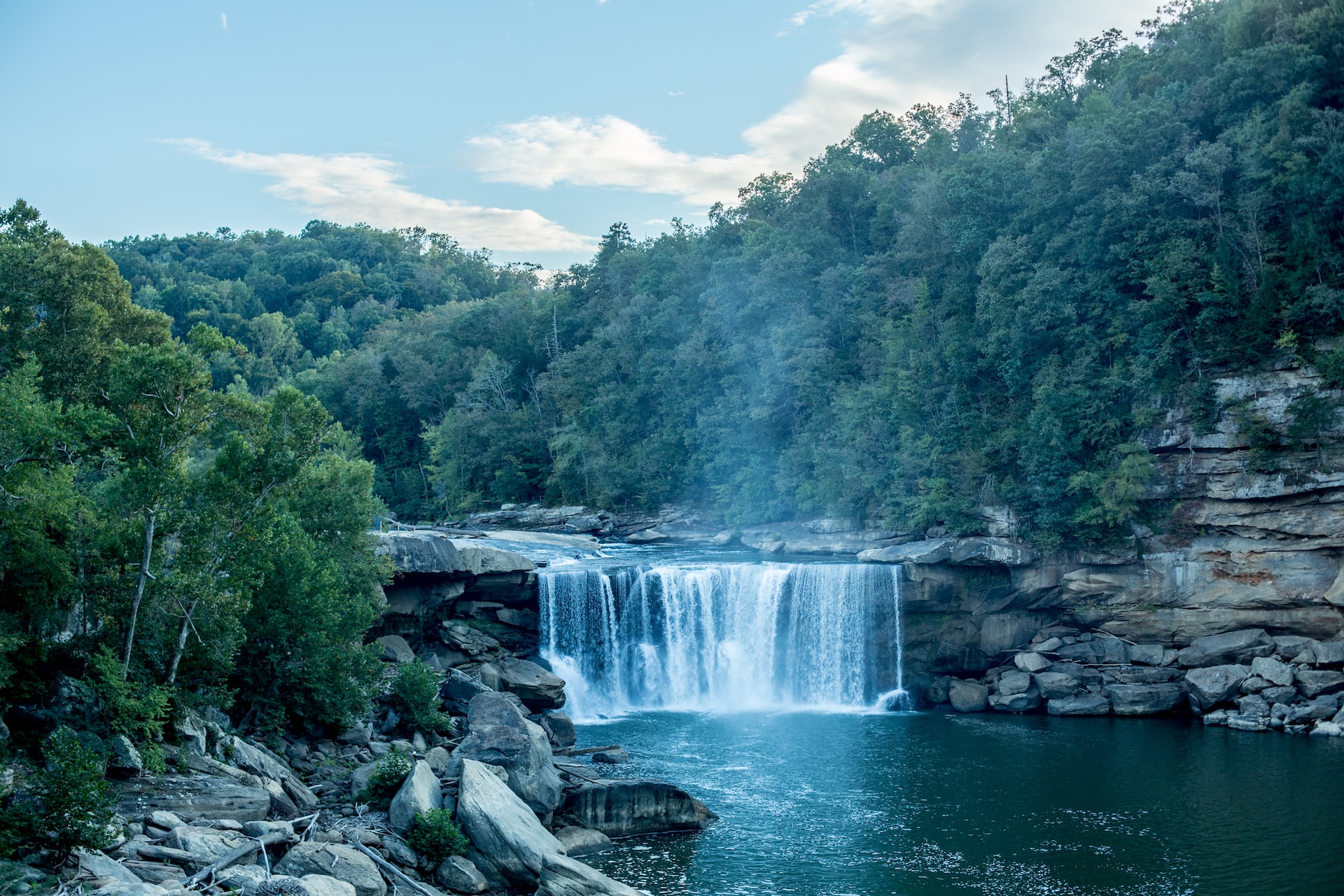
Kentucky has nearly 1,600 miles of waterways, carrying over 90 million tons of goods annually. Furthermore, the Commonwealth's many lakes and rivers form a popular weekend destination. Fortunately, Kentucky is blessed with generally abundant precipitation year-round, largely in the form of rainfall. The state averages between 42 and 52 inches per year with increasing amounts from southwest to northeast. Nevertheless, droughts and floods are common, with periods of flooding most common during the winter and spring, and droughts most common during summer and fall. Accurate monitoring of precipitation, understood in the context of short- and long-term climatic fluctuations, aids our mitigation efforts with farmers, river engineers, and water treatment centers, among others, to better navigate our region's water needs, including water access, quality, and treatment.
NIDIS Drought Maps: https://www.drought.gov/states/kentucky
Streamflow Map (USGS)

© 2026 Copyright Kentucky Climate Center
Back To Top